The Land Between Two Waters
Shirts

The Land Between Two Waters

$40
Qty
🚚
Free shipping on orders over $75
🇺🇸
Designed in Highlands, made in America
30-day returns — unworn, original packaging
About this piece

An unstructured six-panel cap in washed cotton twill, printed front and center with an osprey above the words "The Land Between Two Waters." The graphic also reads "ATH Supply Co," "Highlands," "The Hook," and "Way Up North" — a full accounting of home geography rendered in navy ink. The flat visor and low profile sit easy. This is the shape fishermen wore before anybody called them dad hats. Highlands occupies a bluff between the Navesink and Shrewsbury rivers, bracketed by tidal estuaries that empty into Sandy Hook Bay and, beyond that, the Atlantic. The phrase "land between two waters" appears in Lenape oral history and Dutch colonial maps alike, a description older than the surveyed boundaries. It names the obvious: this place has always been defined by what flows around it. For anyone who rows a skiff on the Shrewsbury at dawn, bikes the seawall at high tide, or watches the ospreys hunt above the marsh grass in September. For the person who knows that north, here, means the city — and that this is as far north as the coast will take you before it turns to harbor.

Shipping & Returns +
Designed in Highlands, NJ and made in America. Orders ship within 3–5 business days via USPS or UPS. Free shipping on US orders over $75; otherwise standard shipping is $7.99. International shipping available at cost. Returns accepted within 30 days of delivery on unworn items — contact shop@abovethehook.com to initiate.
About ATH Products +
Every Above the Hook product carries something specific: a place, a history, a reason. We don't make things for their own sake. Each design starts in the Highlands and is named after something you can stand on, swim in, or watch from the bluff. Wearing one is a kind of small declaration.

The Land Between Two Waters

Stand on the Atlantic Highlands bluff at first light and you can see it — the thin strip of dune and beach that separates the harbor from the open ocean, a ridge of sand holding back the Atlantic on one side and cradling the Shrewsbury and Navesink rivers on the other. The Lenape called this place Navesink, but the English surveyors who charted the bay in the 1600s saw what it really was: the land between two waters.

Highlands sits on the highest coastal elevation between Maine and Florida — a geological accident that gave the Twin Lights their sight line and the fishing boats their safe harbor. For three centuries, people here have made a living off that in-between: clamming the river flats at low tide, running the fishing grounds outside the Hook when the blues are in, watching ships thread the Narrows toward New York. The peninsula is a working threshold, not a postcard.

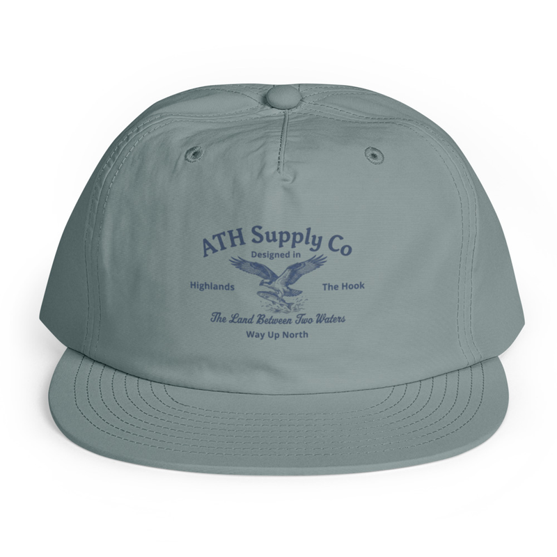
This cap carries that geography quietly. The eagle is lifted from a 1940s maritime chart, the kind the Coast Guard still issues for these waters. Way Up North is the local joke — Highlands is technically the northernmost township on the Shore, even though we're squarely mid-coast. The fabric holds up to salt and sun without complaint.

Wear it like someone who knows where the oyster beds used to be.

The Land Between Two Waters — Above the Hook
Above the Hook · Highlands, NJ
Your Cart
Now in the harbor