From above, the peninsula looks like a fish hook — six miles of sand curving into the Atlantic, catching the harbor entrance between North Jersey and Brooklyn. The shape has held for centuries, shifting only at its southern tip where storms rebuild the beach each winter. It's the first land Italian explorer Giovanni da Verrazzano saw when he entered the Narrows in 1524, and it's still the last thing container ships pass before turning west toward Port Newark.
The Hook was a military reservation for most of the twentieth century. Fort Hancock housed coastal artillery during both world wars, then Nike missile batteries during the Cold War, their radar arrays scanning the same horizon Verrazzano crossed under sail. When the Army left in 1974, the National Park Service inherited 1,665 acres of dunes, bunkers, and officer housing. Now it's where people come to fish the jetties, walk the holly forests, and watch freighters slip past the 1764 lighthouse.
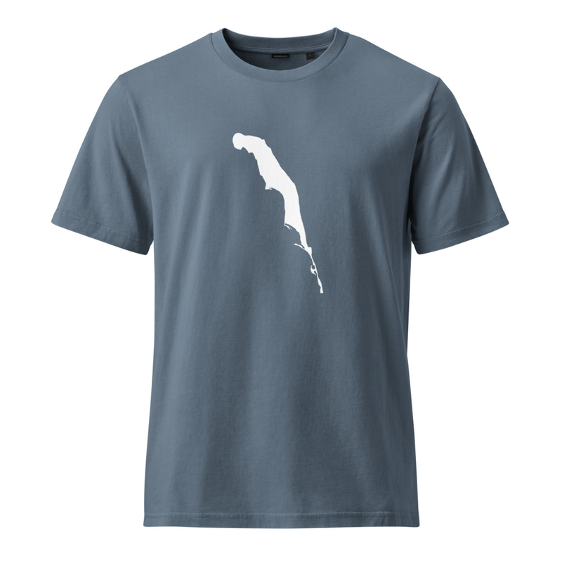
The silhouette printed here is drawn from satellite imagery — not stylized, not simplified. It shows Spermaceti Cove at the widest point, the thin spit of sand trailing south toward the Shrewsbury River inlet, and the causeway that connects the peninsula to Highlands. Garment-dyed heavyweight cotton, the kind that softens after a season of saltwater air and autumn light.
A shirt for people who know the shape by heart, and for the ones learning it now.